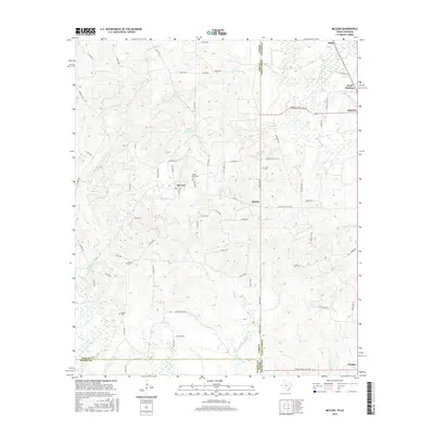
2016 Map of McLeod
USGS Topo · Published 2016About this map
The Texas-Louisiana borderlands are defined here by a dense network of country roads and small communities established along the Cass County and Caddo Parish line. The settlement of McLeod serves as a central point in this landscape, surrounded by smaller locales like Walton and the northern edge of Vivian. This area, heavily influenced by the regional gas and oil industry, is crisscrossed by specialized routes such as United Gas Road 1 and the Rodessa-State Line Rd, indicating the economic drivers of the era.
Find a feature on this map
74 named features on this map. Tap any name to fly to it.
Don’t see what you’re looking for? This feature index may not catch every label — zoom into the map to look around manually.
Map Details
Editions of this 2016 McLeod Map
This is the sole edition of this map. No revisions or reprints were ever made.
Other maps of this area

1907 · Atlanta
USGS Topo · 1:62,500

1910 · Atlanta
USGS Topo · 1:62,500

1932 · Hosston NW
USGS Topo · 1:31,680

1932 · Hosston SW
USGS Topo · 1:31,680

1944 · Kildare
USGS Topo · 1:62,500

1948 · Kildare
USGS Topo · 1:62,500

1948 · Vivian
USGS Topo · 1:62,500

1952 · Doddridge
USGS Topo · 1:24,000

1953 · Texarkana
USGS Topo · 1:250,000

1953 · El Dorado
USGS Topo · 1:250,000