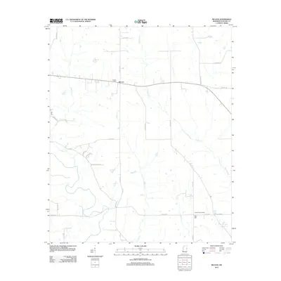
2012 Map of McLeod
USGS Topo · Published 2012About this map
McLeod serves as the central settlement point in this Noxubee County landscape, situated where several local roads converge amidst a network of meandering waterways. The Noxubee River winds across the southern reaches of the quadrangle, joined by numerous tributaries including Tibby Cr, Jordan Cr, and Woodward Cr. This drainage pattern suggests a low-lying, well-watered territory dominated by rural road networks like School Rd and Paulette Rd.
Find a feature on this map
32 named features on this map. Tap any name to fly to it.
Don’t see what you’re looking for? This feature index may not catch every label — zoom into the map to look around manually.
Map Details
Editions of this 2012 McLeod Map
This is the sole edition of this map. No revisions or reprints were ever made.
Other maps of this area

1953 · Meridian
USGS Topo · 1:250,000

1953 · West Point
USGS Topo · 1:250,000

1957 · Meridian
USGS Topo · 1:250,000

1958 · West Point
USGS Topo · 1:250,000

1962 · Shuqualak
USGS Topo · 1:24,000

1963 · West Point
USGS Topo · 1:250,000

1965 · Meridian
USGS Topo · 1:250,000

1973 · Panola
USGS Topo · 1:24,000

1973 · Cliftonville
USGS Topo · 1:24,000

1973 · McLeod
USGS Topo · 1:24,000