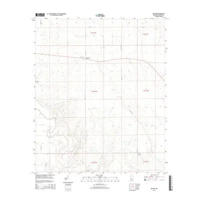
2015 Map of McLeod
USGS Topo · Published 2015About this map
The Noxubee River snakes through this rural corner of Noxubee County, defining a landscape of low-lying floodplains and gentle rises. The small community of McLeod serves as a central point in this agricultural region, situated near several long-standing local landmarks. For those tracing family histories or local heritage, the map identifies several burial grounds including McLeod Cem, Zion Hill Cem, and Prairie Ridge Cem, each tied to the township's dispersed settlement pattern. The road network, including Paulette Rd and Cooksville Rd, follows the section lines of the Public Land Survey System, illustrating how 19th-century land divisions continued to dictate the infrastructure of the area well into the modern era.
Find a feature on this map
22 named features on this map. Tap any name to fly to it.
Don’t see what you’re looking for? This feature index may not catch every label — zoom into the map to look around manually.
Map Details
Editions of this 2015 McLeod Map
This is the sole edition of this map. No revisions or reprints were ever made.
Other maps of this area

1953 · Meridian
USGS Topo · 1:250,000

1953 · West Point
USGS Topo · 1:250,000

1957 · Meridian
USGS Topo · 1:250,000

1958 · West Point
USGS Topo · 1:250,000

1962 · Shuqualak
USGS Topo · 1:24,000

1963 · West Point
USGS Topo · 1:250,000

1965 · Meridian
USGS Topo · 1:250,000

1973 · Panola
USGS Topo · 1:24,000

1973 · Cliftonville
USGS Topo · 1:24,000

1973 · McLeod
USGS Topo · 1:24,000