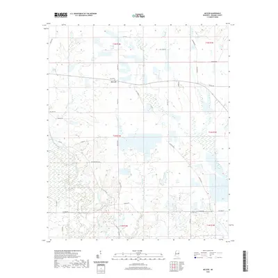
2020 Map of McLeod
USGS Topo · Published 2020About this map
McLeod serves as the focal point of this Noxubee County landscape, where the agricultural grid of eastern Mississippi is defined by a complex network of waterways. The Noxubee River meanders across the southern portion of the map, joined by numerous tributaries including Ash Cr, Jordan Cr, and Woodward Cr. This watery geography is overlaid with a strictly surveyed section line system, creating a patchwork of land divisions visible in the road network. Local family names and community foundations are preserved through cemetery sites such as McLeod Cem, Zion Hill Cem, and Ridge Cem. The placement of these burial grounds and the winding paths of rural routes like Noxcedar Church Rd and Paulette Rd suggest long-standing patterns of movement and settlement between the larger creek drainage areas of Tibbee Cr and the river bottoms.
Find a feature on this map
37 named features on this map. Tap any name to fly to it.
Don’t see what you’re looking for? This feature index may not catch every label — zoom into the map to look around manually.
Map Details
Editions of this 2020 McLeod Map
This is the sole edition of this map. No revisions or reprints were ever made.
Other maps of this area

1953 · Meridian
USGS Topo · 1:250,000

1953 · West Point
USGS Topo · 1:250,000

1957 · Meridian
USGS Topo · 1:250,000

1958 · West Point
USGS Topo · 1:250,000

1962 · Shuqualak
USGS Topo · 1:24,000

1963 · West Point
USGS Topo · 1:250,000

1965 · Meridian
USGS Topo · 1:250,000

1973 · Panola
USGS Topo · 1:24,000

1973 · Cliftonville
USGS Topo · 1:24,000

1973 · McLeod
USGS Topo · 1:24,000