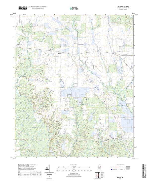
2024 Map of McLeod
USGS Topo · Published 2024About this map
McLeod serves as the focal point of this Noxubee County landscape, where the rural character is defined by a network of winding waterways and family-named roads. The settlement is anchored by the McLeod Cem, reflecting generations of local history in this portion of eastern Mississippi. The terrain is deeply carved by the Noxubee River, which dominates the southern half of the quadrangle, joined by tributaries such as Ash Creek, Jordan Creek, and Woodward Creek.
Find a feature on this map
37 named features on this map. Tap any name to fly to it.
Don’t see what you’re looking for? This feature index may not catch every label — zoom into the map to look around manually.
Map Details
Editions of this 2024 McLeod Map
This is the sole edition of this map. No revisions or reprints were ever made.
Other maps of this area

1953 · Meridian
USGS Topo · 1:250,000

1953 · West Point
USGS Topo · 1:250,000

1957 · Meridian
USGS Topo · 1:250,000

1958 · West Point
USGS Topo · 1:250,000

1962 · Shuqualak
USGS Topo · 1:24,000

1963 · West Point
USGS Topo · 1:250,000

1965 · Meridian
USGS Topo · 1:250,000

1973 · Panola
USGS Topo · 1:24,000

1973 · Cliftonville
USGS Topo · 1:24,000

1973 · McLeod
USGS Topo · 1:24,000