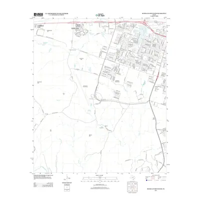
2012 Map of McMillan Mountains
USGS Topo · Published 2012About this map
Robert Gray Army Airfield serves as a major tactical landmark in this central Texas landscape, situated between the growing outskirts of Copperas Cove and the McMillan Mountains. The area reflects a mix of military influence and established rural communities, where modern housing at Montague Village and Kay Bee Heights meets older landscape markers. Genealogists can locate several burial grounds, including Henderson Cem, Sibley Cem, Browns Cem, and Mayberry Cem, many of which sit along historic routes like Old Copperas Cove Rd and Reese Creek Rd. The southern portion of the map is defined by natural features like the Lampasas River and the high points of Sevenmile Mtn and Manere Mtn, illustrating the transition from developed upland plateaus to the creek-carved valleys of Reese Cr and N Reese Cr.
Find a feature on this map
53 named features on this map. Tap any name to fly to it.
Don’t see what you’re looking for? This feature index may not catch every label — zoom into the map to look around manually.
Map Details
Editions of this 2012 McMillan Mountains Map
This is the sole edition of this map. No revisions or reprints were ever made.
Other maps of this area

1893 · Georgetown
USGS Topo · 1:125,000

1894 · Gatesville
USGS Topo · 1:125,000

1930 · Killeen
USGS Topo · 1:62,500

1947 · Fort Hood
USGS Topo · 1:62,500

1947 · Fort Hood
USGS Topo · 1:24,000

1947 · Post Oak Mountain
USGS Topo · 1:24,000

1947 · Killeen
USGS Topo · 1:62,500

1947 · McMillan Mountains
USGS Topo · 1:24,000

1947 · Killeen
USGS Topo · 1:24,000

1947 · Twin Moutains
USGS Topo · 1:24,000