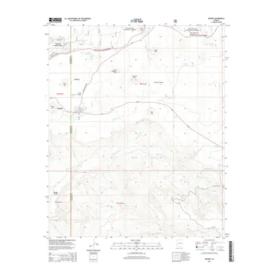
2014 Map of McNary
USGS Topo · Published 2014About this map
McNary sits at the western edge of the Sitgreaves National Forest, serving as a central hub where the terrain transitions into the high-elevation woodlands of the White Mountains. The settlement's street grid, including Oak St, Spruce St, and Fir St, is positioned south of the McNary Cienega. The landscape is defined by volcanic features and significant water sources, notably the N Fork White River and its numerous tributaries like Gomez Cr and Gooseberry Cr. Higher elevations are marked by prominent peaks such as Haystack Mtn and Largo Mtn, while the southern reaches of the map show the deeply incised canyons of Trout Cr. The map captures the area's development through recreational landmarks like the Pinetop Country Club and the network of Forest Service roads including NF-224 and Bia-69.
Find a feature on this map
52 named features on this map. Tap any name to fly to it.
Don’t see what you’re looking for? This feature index may not catch every label — zoom into the map to look around manually.
Map Details
Editions of this 2014 McNary Map
This is the sole edition of this map. No revisions or reprints were ever made.
Other maps of this area

1886 · St Johns
USGS Topo · 1:250,000

1892 · St Johns
USGS Topo · 1:250,000

1954 · Clifton
USGS Topo · 1:250,000

1954 · Saint Johns
USGS Topo · 1:250,000

1957 · Clifton
USGS Topo · 1:250,000

1957 · Saint Johns
USGS Topo · 1:250,000

1958 · Clifton
USGS Topo · 1:250,000

1958 · Saint Johns
USGS Topo · 1:250,000

1961 · McNary
USGS Topo · 1:62,500

1962 · Clifton
USGS Topo · 1:250,000