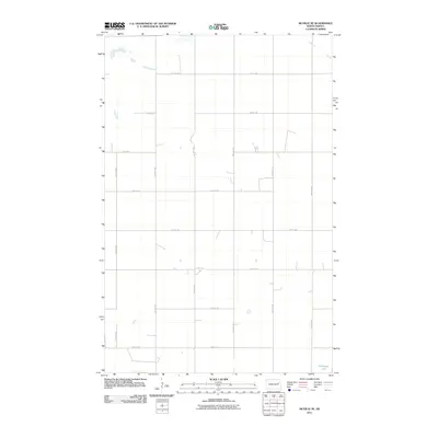
2011 Map of McVille SE
USGS Topo · Published 2011About this map
Hillesland Lake sits in the southeast corner of this section of Nelson County, providing a primary natural landmark in a landscape defined by the rigid geometry of the Public Land Survey System. The area is characterized by a high-density grid of local rural routes, including east-west thoroughfares like 24th St NE and 31st St NE, which intersect with north-south roads such as 115th Ave NE and 120th Ave NE. This 2011 survey by the U.S. Geological Survey reflects the enduring agricultural structure of the North Dakota plains, where the road network meticulously follows section lines, supporting a sparse but organized pattern of rural homesteads and farmsteads.
Find a feature on this map
14 named features on this map. Tap any name to fly to it.
Don’t see what you’re looking for? This feature index may not catch every label — zoom into the map to look around manually.
Map Details
Editions of this 2011 McVille SE Map
This is the sole edition of this map. No revisions or reprints were ever made.
Other maps of this area

1939 · Niagara
USGS Topo · 1:62,500

1942 · McVille
USGS Topo · 1:62,500

1952 · Grand Forks
USGS Topo · 1:250,000

1952 · New Rockford
USGS Topo · 1:250,000

1956 · New Rockford
USGS Topo · 1:250,000

1956 · Grand Forks
USGS Topo · 1:250,000

1961 · Kloten NW
USGS Topo · 1:24,000
1961 · McVille
USGS Topo · 1:24,000

1963 · Niagara SW
USGS Topo · 1:24,000
1963 · McVille SE
USGS Topo · 1:24,000