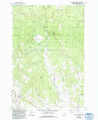
1979 Map of Meacham Corner
USGS Topo · Published 1992About this map
Mountaindale and the surrounding rural landscape of Washington County are defined by the convergence of the West Fork Dairy Creek and its many tributaries. By the late 1970s, this area retained its agricultural and timber character, with the eastern edge of the Tillamook State Forest dominating the western hills near Bald Mountain. The map reveals a community structured around early rural institutions, including the Mountaindale Ch and Washington Grange Hall, alongside historic burial sites like Raffety Cem and Arcade Cem.
Find a feature on this map
50 named features on this map. Tap any name to fly to it.
Don’t see what you’re looking for? This feature index may not catch every label — zoom into the map to look around manually.
Map Details
Editions of this 1979 Meacham Corner Map
2 editions found
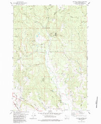
Other maps of this area

1915 · Hillsboro
USGS Topo · 1:62,500

1918 · Hillsboro
USGS Topo · 1:62,500

1922 · St. Helens
USGS Topo · 1:62,500

1940 · Hillsboro
USGS Topo · 1:62,500

1940 · Vernonia
USGS Topo · 1:62,500

1941 · St Helens
USGS Topo · 1:62,500

1941 · Gales Creek
USGS Topo · 1:62,500

1943 · Vernonia
USGS Topo · 1:62,500

1943 · St Helens
USGS Topo · 1:62,500

1948 · Vancouver
USGS Topo · 1:250,000