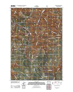
2011 Map of Meacham
USGS Topo · Published 2011About this map
The mountain community of Meacham sits within the Blue Mountains of eastern Oregon, serving as a focal point for this 2011 topographic survey. Located along the historic corridor of the Old Emigrant Rd, the settlement is characterized by its vital infrastructure, including the Meacham Post Office and the nearby Meacham Cemetery. The landscape is dominated by high ridges and complex drainage systems, with Telephone Ridge and Light Ridge overlooking the winding path of Isquulktpe Creek.
Find a feature on this map
28 named features on this map. Tap any name to fly to it.
Don’t see what you’re looking for? This feature index may not catch every label — zoom into the map to look around manually.
Map Details
Editions of this 2011 Meacham Map
This is the sole edition of this map. No revisions or reprints were ever made.
Other maps of this area

1935 · Pendleton
USGS Topo · 1:125,000

1953 · Pendleton
USGS Topo · 1:250,000

1956 · Pendleton
USGS Topo · 1:250,000

1963 · Meacham Lake
USGS Topo · 1:24,000

1964 · Thorn Hollow
USGS Topo · 1:24,000

1964 · Duncan
USGS Topo · 1:24,000

1964 · Gibbon
USGS Topo · 1:24,000

1964 · Huron
USGS Topo · 1:24,000

1964 · Meacham
USGS Topo · 1:24,000

1966 · Cabbage Hill
USGS Topo · 1:24,000