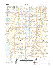
2014 Map of Meade River B-4 SW
USGS Topo · Published 2014About this map
The Nigisaktuvik River meanders across this Arctic landscape, carving a complex pattern of oxbows and secondary channels through the North Slope tundra. This specific segment of the river basin, surveyed in the early 21st century, illustrates the dynamic hydrography of the Alaskan interior, where seasonal shifts and permafrost influence the waterway's path through the remote terrain. The surveyor's grid, including t12n r26w and t11n r25w, provides a precise structural framework for locating specific points along the river's winding course. This map is particularly useful for those studying the physical geography and shifting hydrology of this undeveloped region, capturing the landscape as it existed before further environmental or infrastructure changes occurred.
Find a feature on this map
7 named features on this map. Tap any name to fly to it.
Don’t see what you’re looking for? This feature index may not catch every label — zoom into the map to look around manually.
Map Details
Editions of this 2014 Meade River B-4 SW Map
This is the sole edition of this map. No revisions or reprints were ever made.
Other maps of this area

1951 · Meade River
USGS Topo · 1:250,000

1955 · Meade River
USGS Topo · 1:250,000
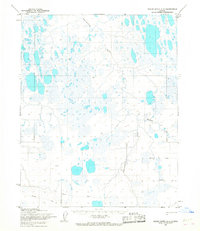
1955 · Meade River A-4
USGS Topo · 1:63,360
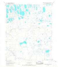
1955 · Meade River A-5
USGS Topo · 1:63,360

1955 · Meade River B-4
USGS Topo · 1:63,360
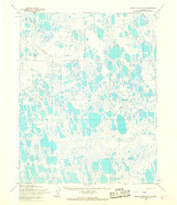
1955 · Meade River B-5
USGS Topo · 1:63,360
2014 · Meade River B-5 NE
USGS Topo · 1:25,000
2014 · Meade River A-5 NE
USGS Topo · 1:25,000
2014 · Meade River A-4 NW
USGS Topo · 1:25,000
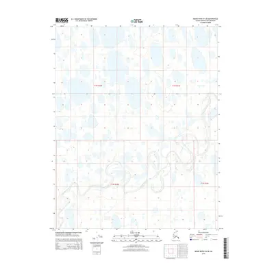
2014 · Meade River B-4 NE
USGS Topo · 1:25,000