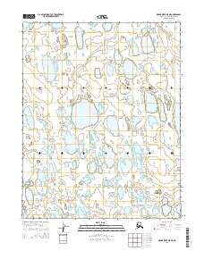
2014 Map of Meade River B-5 NE
USGS Topo · Published 2014About this map
Kugrua River winds across this Arctic landscape in the North Slope Borough, illustrating the intricate drainage patterns of the Alaskan tundra in 2014. The terrain is characterized by a dense concentration of thaw lakes and wetlands, typical of the coastal plain's permafrost-driven geography. In the southwestern portion of the map, Kolipsun Cr meanders through the lowlands, providing a critical reference point in an area otherwise defined by its lack of permanent structures or roads. This document is a precise record of the hydrological network before shifting climate patterns and seasonal variations further alter the delicate northern hydrology.
Find a feature on this map
6 named features on this map. Tap any name to fly to it.
Don’t see what you’re looking for? This feature index may not catch every label — zoom into the map to look around manually.
Map Details
Editions of this 2014 Meade River B-5 NE Map
This is the sole edition of this map. No revisions or reprints were ever made.
Other maps of this area

1951 · Meade River
USGS Topo · 1:250,000

1955 · Meade River
USGS Topo · 1:250,000

1955 · Meade River C-5
USGS Topo · 1:63,360

1955 · Meade River B-4
USGS Topo · 1:63,360

1955 · Meade River C-4
USGS Topo · 1:63,360
1955 · Meade River B-5
USGS Topo · 1:63,360
1962 · Meade River C-4
USGS Topo · 1:50,000
1962 · Meade River C-5
USGS Topo · 1:50,000
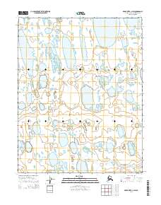
2014 · Meade River C-4 SW
USGS Topo · 1:25,000
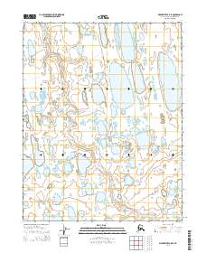
2014 · Meade River C-5 SE
USGS Topo · 1:25,000