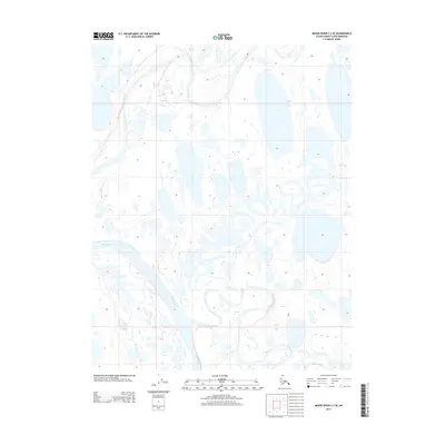
2013 Map of Meade River C-3 SE
USGS Topo · Published 2013About this map
Meade River dominates this Arctic landscape, its meandering channel weaving through a complex network of thaw lakes and wetlands on Alaska's North Slope. This 2013 survey captures the intricate hydrology of the region, where the Usuktuk River joins the drainage system in the southern portion of the quadrangle. The map documents a pristine wilderness defined by thousands of small, unnamed water bodies and the subtle topographic changes typical of the permafrost-underlain coastal plain. Surveyed by the U.S. Geological Survey, the sheet illustrates the seasonal pulse of water across a landscape shaped by ice and flow, providing a precise record of riverbank morphology and lake distribution in this part of the North Slope Borough.
Find a feature on this map
5 named features on this map. Tap any name to fly to it.
Don’t see what you’re looking for? This feature index may not catch every label — zoom into the map to look around manually.
Map Details
Editions of this 2013 Meade River C-3 SE Map
This is the sole edition of this map. No revisions or reprints were ever made.
Other maps of this area

1951 · Meade River
USGS Topo · 1:250,000

1955 · Meade River
USGS Topo · 1:250,000

1955 · Meade River B-3
USGS Topo · 1:63,360

1955 · Meade River B-2
USGS Topo · 1:63,360

1955 · Meade River C-3
USGS Topo · 1:63,360
1955 · Meade River C-2
USGS Topo · 1:63,360
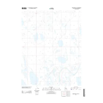
2013 · Meade River C-3 NE
USGS Topo · 1:25,000
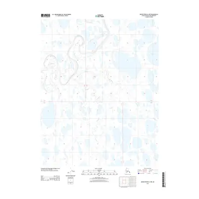
2013 · Meade River B-3 NW
USGS Topo · 1:25,000
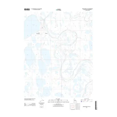
2013 · Meade River B-3 NE
USGS Topo · 1:25,000
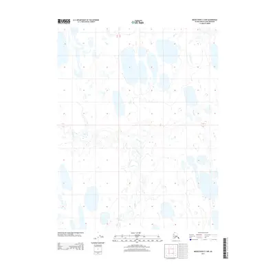
2013 · Meade River C-3 NW
USGS Topo · 1:25,000