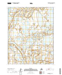
2020 Map of Meade River C-3 SE
USGS Topo · Published 2020About this map
Atqasuk serves as the central hub of this North Slope landscape, situated at the significant confluence where the Usuktuk River meets the winding Meade River. The geography is defined by the complex, water-heavy terrain of the Arctic coastal plain, where the rivers navigate a dense network of thaw lakes and wetlands. The intricate meandering of the Meade River across the western half of the map illustrates the dynamic nature of these waterways as they carve through the tundra. This 2020 representation emphasizes the isolated nature of the settlement, showing the relationship between the indigenous community and the primary river systems that have historically dictated travel and subsistence in this part of the borough.
Find a feature on this map
9 named features on this map. Tap any name to fly to it.
Don’t see what you’re looking for? This feature index may not catch every label — zoom into the map to look around manually.
Map Details
Editions of this 2020 Meade River C-3 SE Map
This is the sole edition of this map. No revisions or reprints were ever made.
Other maps of this area

1951 · Meade River
USGS Topo · 1:250,000

1955 · Meade River
USGS Topo · 1:250,000

1955 · Meade River B-3
USGS Topo · 1:63,360

1955 · Meade River B-2
USGS Topo · 1:63,360

1955 · Meade River C-3
USGS Topo · 1:63,360
1955 · Meade River C-2
USGS Topo · 1:63,360
2013 · Meade River C-3 SE
USGS Topo · 1:25,000
2013 · Meade River C-3 NE
USGS Topo · 1:25,000
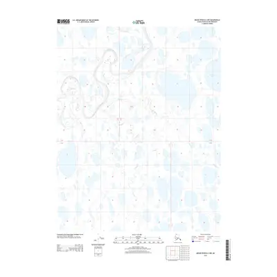
2013 · Meade River B-3 NW
USGS Topo · 1:25,000
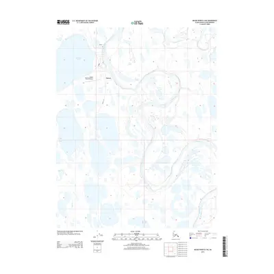
2013 · Meade River B-3 NE
USGS Topo · 1:25,000