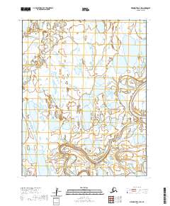
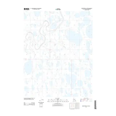
2020 Map of Meade River C-3 SW
USGS Topo · Published 2020About this map
Meade River defines the eastern portion of this Arctic landscape, where the meandering waterway carves through a terrain densely pockmarked by thaw lakes and interconnected wetlands. The hydrological network is further characterized by the Nigisaktuvik River, which winds through the southern reaches of the quadrangle before its confluence. In the northern sections, the smaller Kucheak Cr drains the marshy tundra. This map illustrates the typical geomorphology of the North Slope, where seasonal drainage patterns and permafrost-influenced basins create a complex, shifting aquatic environment. The lack of infrastructure or permanent settlements underscores the isolation of this region within the t14n r22w and surrounding township boundaries, preserving a snapshot of the Alaskan wilderness as it existed in 2020.
Find a feature on this map
9 named features on this map. Tap any name to fly to it.
Don’t see what you’re looking for? This feature index may not catch every label — zoom into the map to look around manually.
Map Details
Editions of this 2020 Meade River C-3 SW Map
This is the sole edition of this map. No revisions or reprints were ever made.
Other maps of this area

1951 · Meade River
USGS Topo · 1:250,000

1955 · Meade River
USGS Topo · 1:250,000

1955 · Meade River B-3
USGS Topo · 1:63,360

1955 · Meade River C-3
USGS Topo · 1:63,360

1955 · Meade River B-4
USGS Topo · 1:63,360

1955 · Meade River C-4
USGS Topo · 1:63,360
1962 · Meade River C-4
USGS Topo · 1:50,000
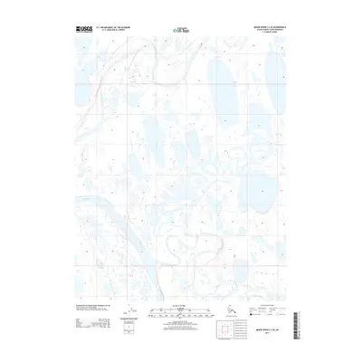
2013 · Meade River C-3 SE
USGS Topo · 1:25,000
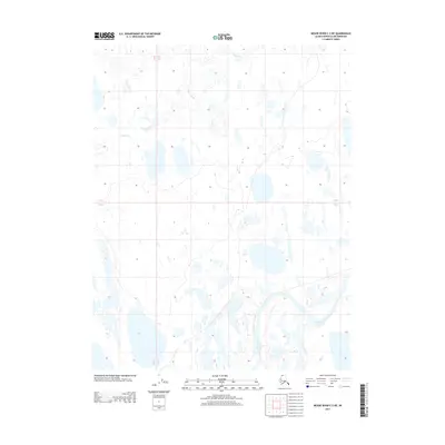
2013 · Meade River C-3 NE
USGS Topo · 1:25,000
2013 · Meade River B-3 NW
USGS Topo · 1:25,000