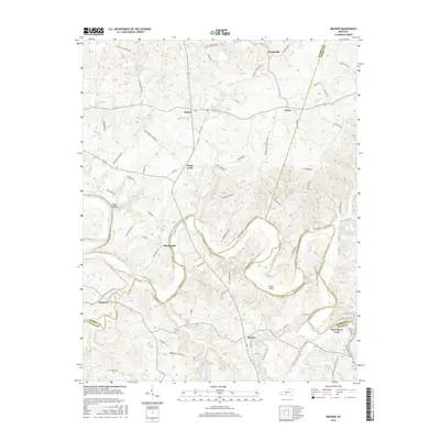
2016 Map of Meador
USGS Topo · Published 2016About this map
The Barren River defines the lower landscape of this region, winding through deep loops at Coles Bend and passing beneath the slopes of Steep Hollow. The river serves as a natural boundary between Warren, Barren, and Allen counties, marking a geography shaped by water and elevation. Small rural settlements are scattered throughout the upland areas, connected by a network of named country roads such as Little Elks Springs Rd and Three Forks Rd. A significant crossing point is found at Port Oliver Ford in the southeast, near the confluence where Lick Br joins the main river. Notable water features like Irvine Fall and Little Elk Spring further illustrate the karst-influenced drainage patterns typical of this part of Kentucky, where numerous small creeks like Little Difficult Cr feed into the primary river system.
Find a feature on this map
70 named features on this map. Tap any name to fly to it.
Don’t see what you’re looking for? This feature index may not catch every label — zoom into the map to look around manually.
Map Details
Editions of this 2016 Meador Map
This is the sole edition of this map. No revisions or reprints were ever made.
Other maps of this area

1921 · Bowling Green
USGS Topo · 1:62,500

1922 · Brownsville
USGS Topo · 1:62,500

1922 · Mammoth Cave
USGS Topo · 1:62,500

1923 · Bowling Green
USGS Topo · 1:62,500

1923 · Mammoth Cave
USGS Topo · 1:62,500

1923 · Brownsville
USGS Topo · 1:62,500

1926 · Scottsville
USGS Topo · 1:62,500

1954 · Evansville
USGS Topo · 1:250,000

1954 · Austin
USGS Topo · 1:24,000

1954 · Bristow
USGS Topo · 1:24,000