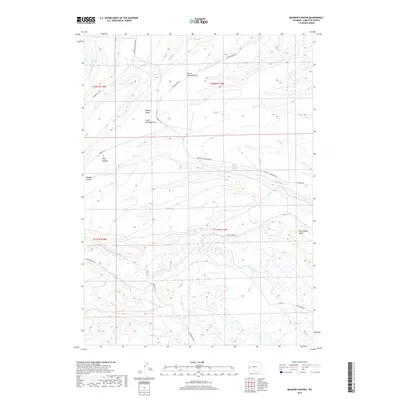
2017 Map of Meadow Canyon
USGS Topo · Published 2017About this map
Dead Indian Dome rises above the high-desert landscape of Sublette County, anchoring a terrain defined by complex drainage systems and isolated cattle-ranching infrastructure. The map reveals an intricate network of seasonal waterways, including Little Cottonwood Cr and Muddy Cr, which carve through the elevated flats of Muddy Bench. The settlement pattern here is sparse, characterized primarily by Bureau of Land Management routes and range improvements. Access to the high country is facilitated by N Piney Lake Rd and Star Corral Rd, while water sources like Bench Corral Springs provide critical points of interest in an otherwise arid expanse. The transition from the steep walls of Meadow Canyon and Billy Canyon to the broad basins of North Antelope Draw illustrates the geologic diversity of this section of the Wyoming range.
Find a feature on this map
23 named features on this map. Tap any name to fly to it.
Don’t see what you’re looking for? This feature index may not catch every label — zoom into the map to look around manually.
Map Details
Editions of this 2017 Meadow Canyon Map
This is the sole edition of this map. No revisions or reprints were ever made.
Other maps of this area

1939 · Big Piney
USGS Topo · 1:125,000

1942 · Big Piney
USGS Topo · 1:125,000

1955 · Preston
USGS Topo · 1:250,000

1958 · Preston
USGS Topo · 1:250,000

1962 · Preston
USGS Topo · 1:250,000
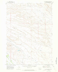
1970 · Budd Reservoir
USGS Topo · 1:24,000
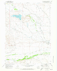
1970 · Big Piney West
USGS Topo · 1:24,000
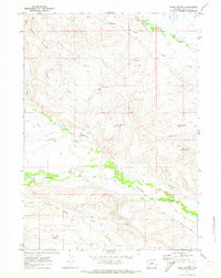
1970 · Onion Springs
USGS Topo · 1:24,000
1980 · Red Castle Creek
USGS Topo · 1:24,000
1980 · Springman Creek
USGS Topo · 1:24,000