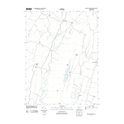
2010 Map of Meadow Grounds
USGS Topo · Published 2010About this map
Licking Creek and its many tributaries, such as Joes Run and Patterson Run, define the drainage patterns of this Fulton County landscape. Central to the geography is the Meadow Grounds Lake, held by the Meadow Grounds Dam and flanked by the prominent Meadow Grounds Mountain. Small rural settlements like Harrisonville and Andover are connected by a network of winding roads, including Schooley RD and Patterson Run RD. Genealogists and local historians can find significant landmarks such as the Wink Cemetery and Big Spring Cemetery, which provide specific points of reference for tracing family roots in the area. The map illustrates a transitional landscape where narrow valleys meet broader ridges like Scrub Ridge, showing the modern road system alongside the longstanding natural features of Ayr Township.
Find a feature on this map
69 named features on this map. Tap any name to fly to it.
Don’t see what you’re looking for? This feature index may not catch every label — zoom into the map to look around manually.
Map Details
Editions of this 2010 Meadow Grounds Map
This is the sole edition of this map. No revisions or reprints were ever made.
Other maps of this area

1900 · Mercersburg
USGS Topo · 1:62,500

1902 · Mercersburg
USGS Topo · 1:62,500

1925 · Needmore
USGS Topo · 1:48,000

1930 · Broad Top
USGS Topo · 1:62,500

1933 · Broad Top
USGS Topo · 1:62,500

1935 · Needmore
USGS Topo · 1:62,500

1939 · Needmore
USGS Topo · 1:62,500

1939 · Orbisonia
USGS Topo · 1:62,500

1940 · Orbisonia
USGS Topo · 1:62,500

1942 · Hagerstown
USGS Topo · 1:125,000
Featured Places
- Ayr Township, PA
- Licking Creek Township, PA
- Belfast Township, PA
- Todd Township, PA
- Andover, Licking Creek Township