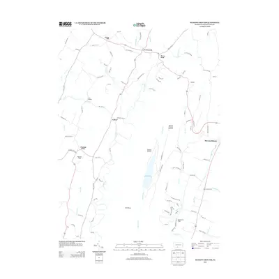
2013 Map of Meadow Grounds
USGS Topo · Published 2013About this map
Meadow Grounds Lake sits at the center of this landscape, surrounded by the high terrain of Meadow Grounds Mountain and Scrub Ridge. The map illustrates a rural Pennsylvania topography defined by narrow valleys and prominent ridges, where settlements like Harrisonville and Andover follow the natural contours of the land. Along the eastern edge, the western outskirts of McConnellsburg appear where the mountains meet the valley floor. Transportation is deeply influenced by the north-south orientation of the ridges, with roads like Lincoln Way W and Pine Tree Farm Ln navigating the gaps. Numerous waterways including Lick Run, Patterson Run, and Big Cove Cr drain the various hollows, such as Lick Hollow, highlighting the region's complex drainage network that has historically dictated settlement patterns.
Find a feature on this map
96 named features on this map. Tap any name to fly to it.
Don’t see what you’re looking for? This feature index may not catch every label — zoom into the map to look around manually.
Map Details
Editions of this 2013 Meadow Grounds Map
This is the sole edition of this map. No revisions or reprints were ever made.
Other maps of this area

1900 · Mercersburg
USGS Topo · 1:62,500

1902 · Mercersburg
USGS Topo · 1:62,500

1925 · Needmore
USGS Topo · 1:48,000

1930 · Broad Top
USGS Topo · 1:62,500

1933 · Broad Top
USGS Topo · 1:62,500

1935 · Needmore
USGS Topo · 1:62,500

1939 · Needmore
USGS Topo · 1:62,500

1939 · Orbisonia
USGS Topo · 1:62,500

1940 · Orbisonia
USGS Topo · 1:62,500

1942 · Hagerstown
USGS Topo · 1:125,000
Featured Places
- Ayr Township, PA
- Licking Creek Township, PA
- Belfast Township, PA
- Todd Township, PA
- Andover, Licking Creek Township