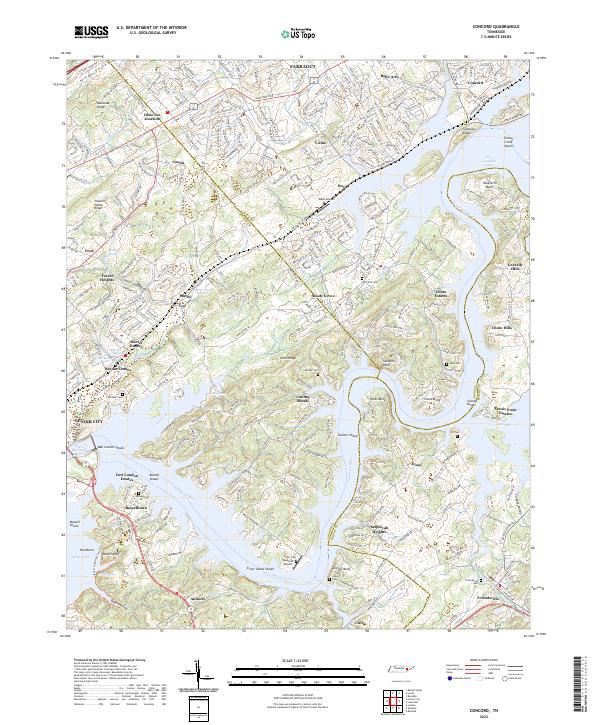
2022 Map of Meadow
USGS Topo · Published 2022About this map
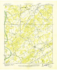
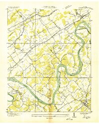
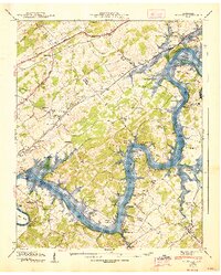
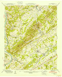
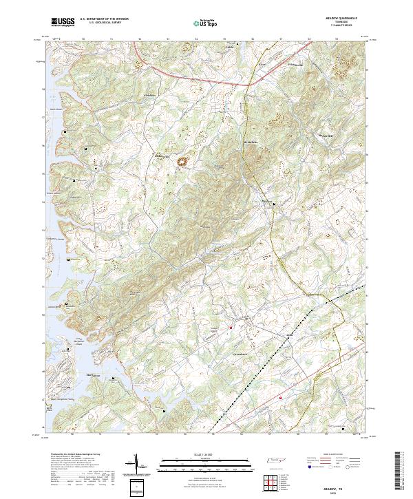
Morganton sits along the Little Tennessee River in a landscape defined by the impoundment of Tellico Lake. This area of eastern Tennessee, straddling the Loudon Co and Blount Co line, reveals a dense network of family history through numerous small burial grounds such as Rollins Cem, Douthit Cem, and Axley Cem. The transition from old river crossings like Niles Ferry Rd to modern infrastructure is evident near Greenback, while aviation history is represented by the Village Airport. Significant elevation changes occur across Lotterdale Knob and the Red Knobs, overlooking the winding path of Baker Creek. Further north, the established settlements of Friendsville and Unitia anchor the map, connected by rural corridors through Hickory Valley. The presence of Axley Chapel and Antioch Ch reflects the longstanding community centers that have endured alongside the changing riverfront at Jackson Bend and Carpenters Shoals.
Find a feature on this map
171 named features on this map. Tap any name to fly to it.
Don’t see what you’re looking for? This feature index may not catch every label — zoom into the map to look around manually.
Map Details
Editions of this 2022 Meadow Map
This is the sole edition of this map. No revisions or reprints were ever made.
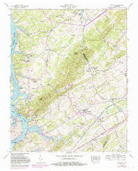
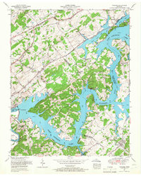
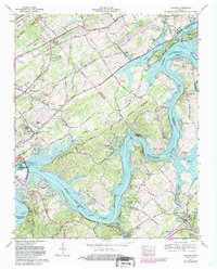
Historical Maps of Unitia Through Time
9 maps found