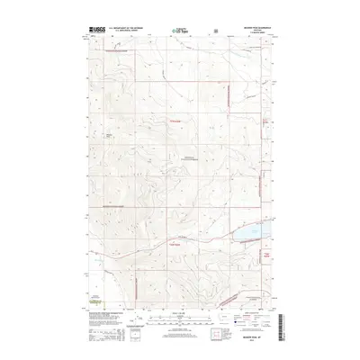
2014 Map of Meadow Peak
USGS Topo · Published 2014About this map
Kootenai National Forest and Lolo National Forest converge in this high-elevation landscape of western Montana, centered on the prominent lookout point of Meadow Peak. The topography is defined by the sharp transition from the timbered ridges of the Salish Mountains down to the water systems that feed the regional rivers. In the southern reach, the McGregor Lake basin provides a significant landmark along Us-2, while the northern portion is drained by the Pleasant Valley Fisher River.
Find a feature on this map
22 named features on this map. Tap any name to fly to it.
Don’t see what you’re looking for? This feature index may not catch every label — zoom into the map to look around manually.
Map Details
Editions of this 2014 Meadow Peak Map
This is the sole edition of this map. No revisions or reprints were ever made.
Other maps of this area

1920 · Jennings
USGS Topo · 1:125,000

1935 · Thompson Lakes
USGS Topo · 1:96,000

1937 · Thompson Falls
USGS Topo · 1:125,000

1942 · Thompson Lakes
USGS Topo · 1:125,000

1956 · Wallace
USGS Topo · 1:250,000

1957 · Kalispell
USGS Topo · 1:250,000

1960 · Kalispell
USGS Topo · 1:250,000

1960 · Wallace
USGS Topo · 1:250,000

1961 · Kalispell
USGS Topo · 1:250,000

1964 · Meadow Peak
USGS Topo · 1:24,000