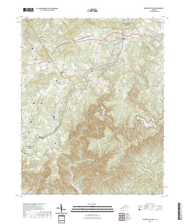
2022 Map of Meadows of Dan
USGS Topo · Published 2022About this map
The Blue Ridge Parkway winds through the high elevations of the Blue Ridge Mountains along the border of Patrick, Carroll, and Floyd counties. This landscape is defined by its deep genealogical roots, evidenced by dozens of family-named burial grounds like the James Nester Webb Family Cem, Sollie Alderman Cem, and Tirea Barnard Family Cem. These small cemeteries are often situated near historic congregations, including the Meadows of Dan Baptist Church and New Bell Spur Primitive Baptist Church. The area's complex hydrology is dominated by the headwaters of the Dan River and the Little Dan River, which flow toward the Townes Reservoir in the eastern portion of the quadrangle. Steep ridges such as Hurricane Ridge and Pinnacle Point overlook numerous small drainages like Mayberry Creek and Round Meadow Creek, reflecting the traditional upland settlement patterns of Southwest Virginia.
Find a feature on this map
150 named features on this map. Tap any name to fly to it.
Don’t see what you’re looking for? This feature index may not catch every label — zoom into the map to look around manually.
Map Details
Editions of this 2022 Meadows of Dan Map
This is the sole edition of this map. No revisions or reprints were ever made.
Other maps of this area

1889 · Hillsville
USGS Topo · 1:125,000

1892 · Hillsville
USGS Topo · 1:125,000

1896 · Hillsville
USGS Topo · 1:125,000

1928 · Stuart
USGS Topo · 1:48,000

1931 · Stuart
USGS Topo · 1:62,500

1953 · Winston-Salem
USGS Topo · 1:250,000

1955 · Winston-Salem
USGS Topo · 1:250,000

1956 · Macks Mountain
USGS Topo · 1:62,500

1957 · Mount Airy
USGS Topo · 1:62,500

1957 · Floyd
USGS Topo · 1:62,500