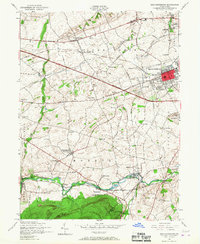
1952 Map of Mechanicsburg
USGS Topo · Published 1967About this map
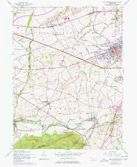
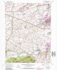
Yellow Breeches Creek defines the southern portion of this Cumberland County landscape, winding past the amusement grounds of Williams Grove Park and the creative hub at Allenberry Playhouse. The 1950s era shows Mechanicsburg at a point of post-war expansion, with the Pennsylvania Turnpike cutting a diagonal path across the rolling terrain north of the borough. The presence of the US Naval Supply Depot and US Naval Reservation highlights the region's mid-century military and logistical importance.
Find a feature on this map
63 named features on this map. Tap any name to fly to it.
Don’t see what you’re looking for? This feature index may not catch every label — zoom into the map to look around manually.
Map Details
Editions of this 1952 Mechanicsburg Map
6 editions found
Other maps of this area

1892 · Harrisburg
USGS Topo · 1:62,500

1899 · Harrisburg
USGS Topo · 1:62,500

1904 · Carlisle
USGS Topo · 1:62,500

1906 · New Cumberland
USGS Topo · 1:62,500

1907 · New Bloomfield
USGS Topo · 1:62,500

1924 · Harrisburg
USGS Topo · 1:62,500

1943 · New Cumberland
USGS Topo · 1:62,500

1943 · Harrisburg
USGS Topo · 1:62,500

1943 · New Bloomfield
USGS Topo · 1:62,500

1943 · Carlisle
USGS Topo · 1:62,500
Featured Places
- Middlesex Township, PA
- New Kingstown, Silver Spring Township
- Rosegarden, PA
- Mechanicsburg, PA
- Locust Point, Monroe Township