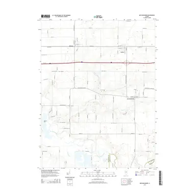
2015 Map of Mechanicsburg
USGS Topo · Published 2015About this map
Mechanicsburg sits at the heart of this central Illinois landscape, defined by a grid of agricultural roads and the winding path of the Sangamon River. The village is flanked by the Mechanicsburg Cem and Pickerell Cem, providing specific points of interest for genealogists tracing local families. To the north, the parallel settlements of Dawson and Buffalo align along the historic corridor of Old Route 36, illustrating the long-standing transport patterns between regional hubs.
Find a feature on this map
76 named features on this map. Tap any name to fly to it.
Don’t see what you’re looking for? This feature index may not catch every label — zoom into the map to look around manually.
Map Details
Editions of this 2015 Mechanicsburg Map
This is the sole edition of this map. No revisions or reprints were ever made.
Other maps of this area

1907 · Springfield
USGS Topo · 1:62,500

1922 · Divernon
USGS Topo · 1:62,500

1923 · Taylorville
USGS Topo · 1:62,500

1924 · Divernon
USGS Topo · 1:62,500

1925 · Taylorville
USGS Topo · 1:62,500

1930 · Springfield
USGS Topo · 1:62,500

1940 · Springfield
USGS Topo · 1:62,500

1950 · Springfield East
USGS Topo · 1:24,000

1954 · Mechanicsburg
USGS Topo · 1:62,500

1958 · Decatur
USGS Topo · 1:250,000