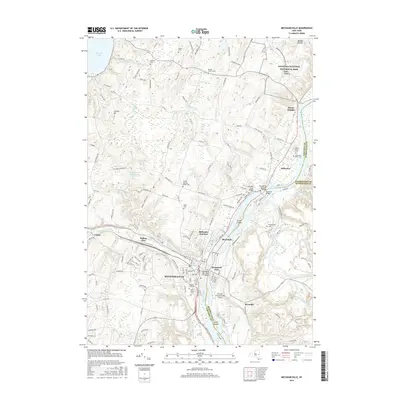
2016 Map of Mechanicville
USGS Topo · Published 2016About this map
The Hudson River corridor serves as the primary artery for this region of eastern New York, where the Old Champlain Canal traces the historic path of commerce through Mechanicville. To the north, the hallowed grounds of Saratoga National Historical Park and the heights at Bemis Heights overlook the river valley, marking some of the most significant territory of the American Revolution. The landscape is dense with genealogical markers, from the Yellow Meeting House Cem to the Saint Peters Cem, reflecting generations of settlement between the river and Saratoga Lake.
Find a feature on this map
147 named features on this map. Tap any name to fly to it.
Don’t see what you’re looking for? This feature index may not catch every label — zoom into the map to look around manually.
Map Details
Editions of this 2016 Mechanicville Map
This is the sole edition of this map. No revisions or reprints were ever made.
Other maps of this area

1893 · Cohoes
USGS Topo · 1:62,500

1893 · Schenectady
USGS Topo · 1:62,500

1895 · Cohoes
USGS Topo · 1:62,500

1895 · Schenectady
USGS Topo · 1:62,500

1898 · Schenectady
USGS Topo · 1:62,500

1898 · Cohoes
USGS Topo · 1:62,500

1900 · Schuylerville
USGS Topo · 1:62,500

1902 · Saratoga
USGS Topo · 1:62,500

1929 · Cohoes
USGS Topo · 1:62,500

1930 · Schenectady
USGS Topo · 1:62,500