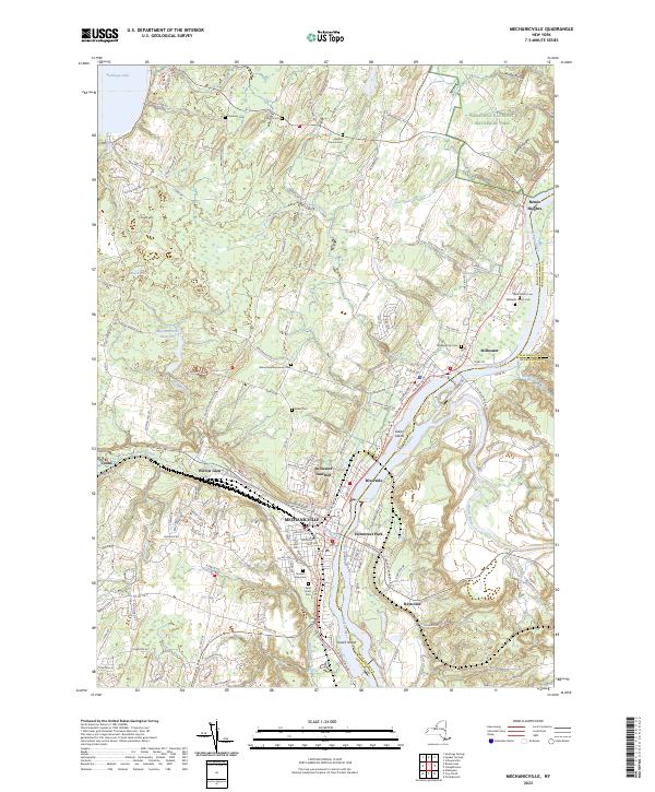
2023 Map of Mechanicville
USGS Topo · Published 2023About this map
Mechanicville sits at the convergence of industrial and revolutionary history, where the Anthony Kill joins the Hudson River. This modern survey documents the intricate waterways and transport corridors that shaped southern Saratoga County, including the visible path of the Old Champlain Canal and the clustered settlements of Stillwater and Riverside. To the north, the terrain rises toward the storied grounds of the Saratoga National Historical Park and the slopes of Bemis Heights, areas fundamental to the American Revolution. The map is a vital resource for genealogists, recording numerous legacy burial sites such as the Yellow Meeting House Cem, Saint Peters Cem Stillwater Union Cem, and Hudson View Cem. From the banks of Saratoga Lake to the industrial legacy at Stillwater Junction, the landscape reveals a transition from riverfront manufacturing and canal-era transit to modern suburban development and preserved heritage sites.
Find a feature on this map
152 named features on this map. Tap any name to fly to it.
Don’t see what you’re looking for? This feature index may not catch every label — zoom into the map to look around manually.
Map Details
Editions of this 2023 Mechanicville Map
This is the sole edition of this map. No revisions or reprints were ever made.
Other maps of this area

1893 · Cohoes
USGS Topo · 1:62,500

1893 · Schenectady
USGS Topo · 1:62,500

1895 · Cohoes
USGS Topo · 1:62,500

1895 · Schenectady
USGS Topo · 1:62,500

1898 · Schenectady
USGS Topo · 1:62,500

1898 · Cohoes
USGS Topo · 1:62,500

1900 · Schuylerville
USGS Topo · 1:62,500

1902 · Saratoga
USGS Topo · 1:62,500

1929 · Cohoes
USGS Topo · 1:62,500

1930 · Schenectady
USGS Topo · 1:62,500