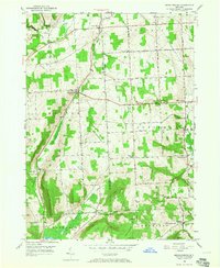
1950 Map of Mecklenburg
USGS Topo · Published 1965About this map
The boundary line between Schuyler and Tompkins counties divides a landscape of high ridges and rural hamlets in this mid-century survey. The village of Mecklenburg serves as a central hub, where the historic Catskill Turnpike crosses several local routes, including Town Line Road and McIntyre Road. To the east, the township of Enfield is dotted with crossroads settlements such as Millers Corners and Bostwick Corners, illustrating the dispersed agricultural pattern of the Finger Lakes region before significant modern suburbanization.
Find a feature on this map
41 named features on this map. Tap any name to fly to it.
Don’t see what you’re looking for? This feature index may not catch every label — zoom into the map to look around manually.
Map Details
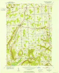
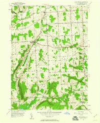
Editions of this 1950 Mecklenburg Map
3 editions found
Other maps of this area

1893 · Ithaca
USGS Topo · 1:62,500

1895 · Ithaca
USGS Topo · 1:62,500

1898 · Watkins Glen
USGS Topo · 1:62,500

1901 · Watkins
USGS Topo · 1:62,500

1902 · Genoa
USGS Topo · 1:62,500

1902 · Ovid
USGS Topo · 1:62,500

1905 · Watkins Glen
USGS Topo · 1:125,000

1942 · Ludlowville
USGS Topo · 1:24,000

1942 · Lodi
USGS Topo · 1:24,000

1942 · Trumansburg
USGS Topo · 1:24,000