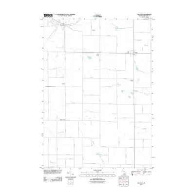
2011 Map of Mecosta
USGS Topo · Published 2011About this map
The village of Mecosta and the nearby community of Remus anchor this survey of Wheatland and Morton Townships in central Michigan. Established as a timber and agricultural hub, the region is defined by its network of water bodies, including the East Branch Little Muskegon River and several small basins such as Pickerel Lake, Mud Lake, and Schoner Lake. Local family and community history is preserved in several burial grounds scattered throughout the rural landscape, notably Saint Michael Cemetery, Morgan Cemetery, and Wamboldt Cemetery. The presence of the Wesleyan Holiness Campground and the smaller settlement at Halls Corner reflects a long-standing pattern of rural congregational and crossroads development. Transportation follows a rigid mile-road grid system typical of the Midwest, connecting outlying farms to the central Mecosta Post Office and Remus Post Office.
Find a feature on this map
47 named features on this map. Tap any name to fly to it.
Don’t see what you’re looking for? This feature index may not catch every label — zoom into the map to look around manually.
Map Details
Editions of this 2011 Mecosta Map
This is the sole edition of this map. No revisions or reprints were ever made.
Other maps of this area

1954 · Midland
USGS Topo · 1:250,000

1958 · Midland
USGS Topo · 1:250,000

1958 · Big Rapids
USGS Topo · 1:62,500

1959 · Midland
USGS Topo · 1:250,000

1959 · Howard City
USGS Topo · 1:62,500

1964 · Edmore
USGS Topo · 1:24,000

1964 · Six Lakes
USGS Topo · 1:24,000

1964 · Mecosta NW
USGS Topo · 1:24,000

1964 · Blanchard
USGS Topo · 1:24,000

1964 · Mecosta
USGS Topo · 1:24,000