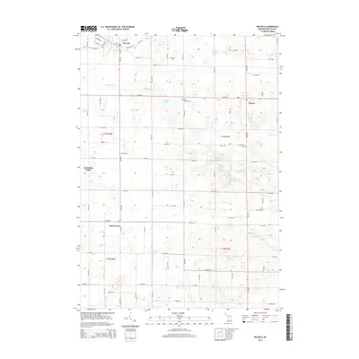
2014 Map of Mecosta
USGS Topo · Published 2014About this map
The village of Mecosta and the settlement of Remus anchor this survey of Wheatland and Morton Townships during the early twenty-first century. The landscape is defined by the headwaters of the E Br Little Muskegon River in the northwest and the south-flowing Pine River in the east. Numerous small glacial lakes dot the terrain, including Pickerel Lake, Schoner Lake, and the cluster containing Third Lake and Fourth Lake.
Find a feature on this map
56 named features on this map. Tap any name to fly to it.
Don’t see what you’re looking for? This feature index may not catch every label — zoom into the map to look around manually.
Map Details
Editions of this 2014 Mecosta Map
This is the sole edition of this map. No revisions or reprints were ever made.
Other maps of this area

1954 · Midland
USGS Topo · 1:250,000

1958 · Midland
USGS Topo · 1:250,000

1958 · Big Rapids
USGS Topo · 1:62,500

1959 · Midland
USGS Topo · 1:250,000

1959 · Howard City
USGS Topo · 1:62,500

1964 · Edmore
USGS Topo · 1:24,000

1964 · Six Lakes
USGS Topo · 1:24,000

1964 · Mecosta NW
USGS Topo · 1:24,000

1964 · Blanchard
USGS Topo · 1:24,000

1964 · Mecosta
USGS Topo · 1:24,000