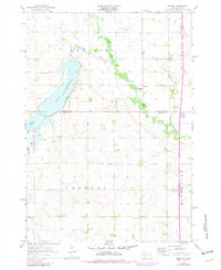
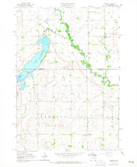
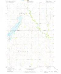
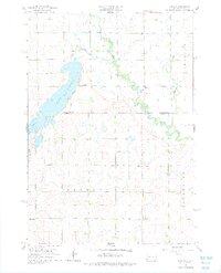
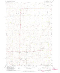
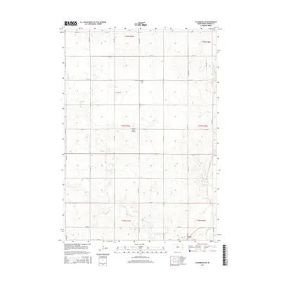
1964 Map of Medary
USGS Topo · Published 1982About this map
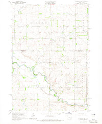
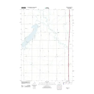
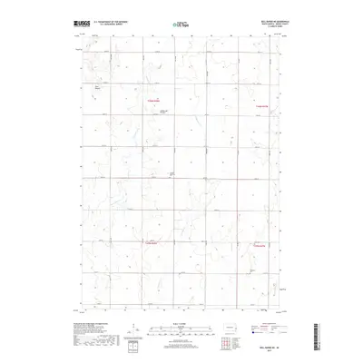
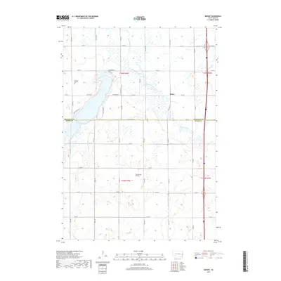
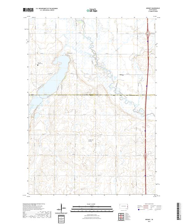
The Big Sioux River carves a winding path through this corner of eastern South Dakota, defining the landscape between the townships of Medary and Fremont. In the early 1960s, the area shows a distinct rural organization centered around a network of country schools, including Galla Sch, Lampson Sch, McCurdy Sch, and Midway Sch. These institutions, alongside the Lake Campbell Cem near the shores of Lake Campbell, point to a historically tight-knit agricultural community. The map illustrates the transition from the glaciated topography around the lake to the broader floodplain of the river. Leisure and transportation also intersect here, with the Brookings Country Club established on the lake's eastern bank and the interstate highway corridor beginning to influence the eastern edge of Medary township.
Find a feature on this map
19 named features on this map. Tap any name to fly to it.
Don’t see what you’re looking for? This feature index may not catch every label — zoom into the map to look around manually.
Map Details
Editions of this 1964 Medary Map
4 editions found
Historical Maps of Medary Through Time
30 maps found
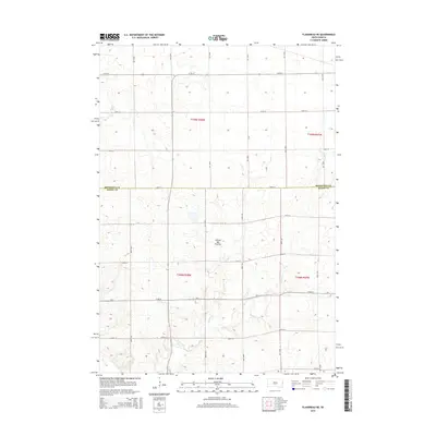
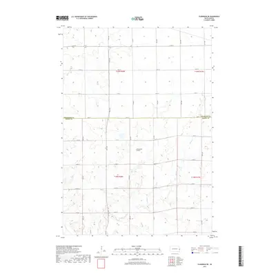
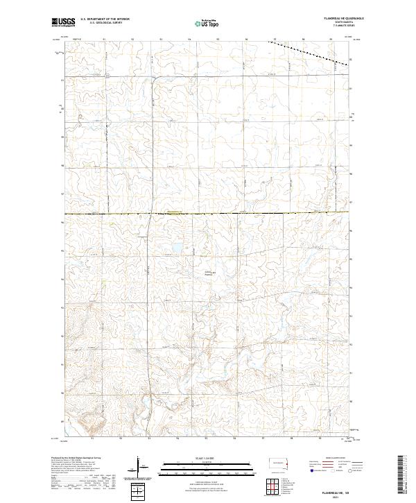
1964 Flandreau NW
Moody County, SD
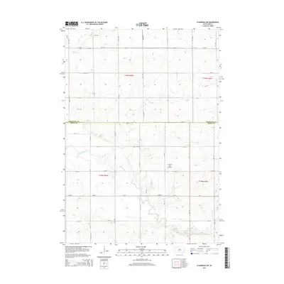
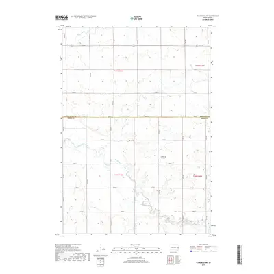
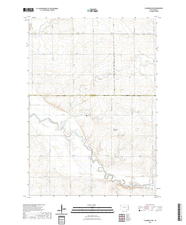
1964 Flandreau SW
Moody County, SD
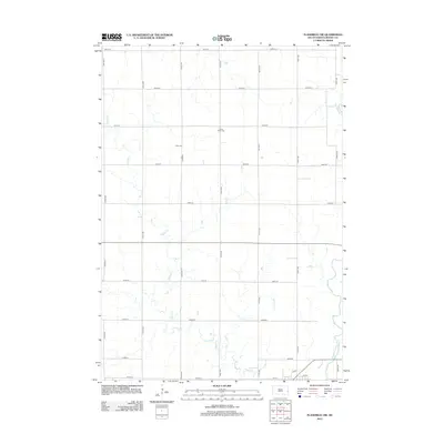
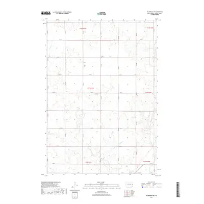
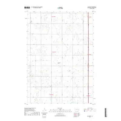
1964 Medary
Moody County, SD
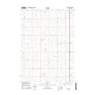
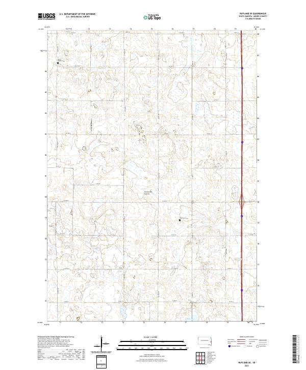
1964 Rutland SE
Moody County, SD
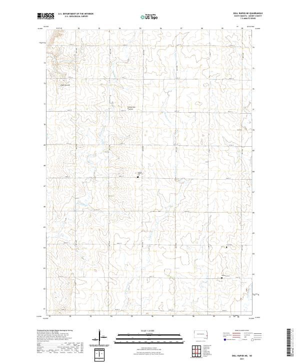
1972 Dell Rapids NE
Moody County, SD
1972 Flandreau NE
Moody County, SD
2012 Dell Rapids NE
Moody County, SD
2012 Flandreau NE
Moody County, SD
2012 Flandreau NW
Moody County, SD
2012 Flandreau SW
Moody County, SD
2012 Medary
Moody County, SD
2012 Rutland SE
Moody County, SD
2015 Dell Rapids NE
Moody County, SD
2015 Flandreau NE
Moody County, SD
2015 Flandreau NW
Moody County, SD
2015 Flandreau SW
Moody County, SD
2015 Medary
Moody County, SD
2015 Rutland SE
Moody County, SD
2017 Dell Rapids NE
Moody County, SD
2017 Flandreau NE
Moody County, SD
2017 Flandreau NW
Moody County, SD
2017 Flandreau SW
Moody County, SD
2017 Medary
Moody County, SD
2017 Rutland SE
Moody County, SD
2021 Dell Rapids NE
Moody County, SD
2021 Flandreau NE
Moody County, SD
2021 Flandreau NW
Moody County, SD

2021 Flandreau SW
Moody County, SD
2021 Medary
Moody County, SD
2021 Rutland SE
Moody County, SD
Featured Locations
- Trenton Township, SD
- Medary Township, SD
- Fremont Township, SD
- Riverview Township, SD
- Medary, Medary Township