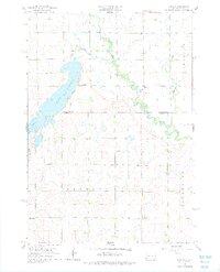
1964 Map of Medary
USGS Topo · Published 1977About this map
Big Sioux River and its meandering oxbows define the eastern landscape of this South Dakota quadrangle, while the prominent waters of Lake Campbell dominate the western portion. Straddling the line between Brookings and Moody Counties, the area shows a mid-century rural infrastructure anchored by a network of local country schools. Researchers will find the locations of Galla Sch, Midway Sch, Lampson Sch, and McCurdy Sch distributed across the townships of Fremont, Riverview, and Medary.
Find a feature on this map
21 named features on this map. Tap any name to fly to it.
Don’t see what you’re looking for? This feature index may not catch every label — zoom into the map to look around manually.
Map Details
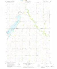
Editions of this 1964 Medary Map
4 editions found
Other maps of this area

1953 · Watertown
USGS Topo · 1:250,000

1958 · Watertown
USGS Topo · 1:250,000

1964 · Brookings
USGS Topo · 1:24,000

1964 · Medary
USGS Topo · 1:24,000

1964 · Rutland SE
USGS Topo · 1:24,000

1964 · Flandreau SW
USGS Topo · 1:24,000

1964 · Flandreau NW
USGS Topo · 1:24,000

1964 · Aurora
USGS Topo · 1:24,000

1968 · Volga
USGS Topo · 1:24,000
1968 · Rutland
USGS Topo · 1:24,000