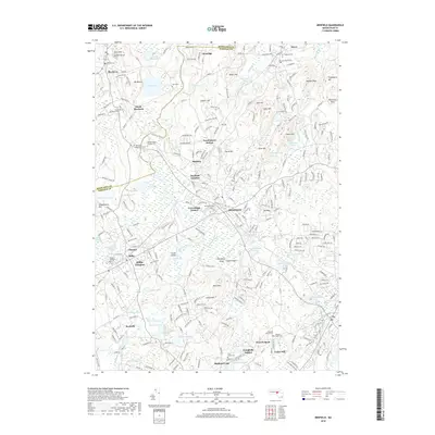
2018 Map of Medfield
USGS Topo · Published 2018About this map
The Charles River winds through this landscape, defining the boundaries of historically significant townships like Medfield, Sherborn, and Millis. This area is characterized by its transition from old agricultural roots to suburban expansion, evidenced by the numerous transit points such as Farm Street Station and Medfield Junction. For genealogists, the map is a detailed resource, pinpointing the Old South Burying Ground and the Medfield State Hospital Cem, alongside local burial sites like Vine Lake Cem and Walpole Plains Cem.
Find a feature on this map
270 named features on this map. Tap any name to fly to it.
Don’t see what you’re looking for? This feature index may not catch every label — zoom into the map to look around manually.
Map Details
Editions of this 2018 Medfield Map
This is the sole edition of this map. No revisions or reprints were ever made.
Other maps of this area

1886 · Dedham
USGS Topo · 1:62,500

1886 · Framingham
USGS Topo · 1:62,500

1887 · Franklin
USGS Topo · 1:62,500

1889 · Franklin
USGS Topo · 1:62,500

1889 · Framingham
USGS Topo · 1:62,500

1893 · Franklin
USGS Topo · 1:62,500

1893 · Boston
USGS Topo · 1:62,500

1894 · Dedham
USGS Topo · 1:62,500

1894 · Framingham
USGS Topo · 1:62,500

1903 · Boston
USGS Topo · 1:62,500