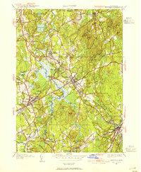
1945 Map of Medfield
USGS Topo · Published 1954About this map
The Charles River defines the pastoral landscape of this mid-century Norfolk County survey, winding through a complex system of marshes and meadows before reaching Medfield. The map documents a significant era of institutional land use, anchored by the sprawling Medfield State Hospital and its proximity to Harding. The infrastructure of the New York New Haven and Hartford RR remains a dominant feature, serving the industrial and passenger needs of Millis, Sherborn, and Walpole.
Find a feature on this map
99 named features on this map. Tap any name to fly to it.
Don’t see what you’re looking for? This feature index may not catch every label — zoom into the map to look around manually.
Map Details
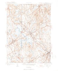
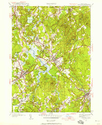
Editions of this 1945 Medfield Map
3 editions found
Other maps of this area

1886 · Dedham
USGS Topo · 1:62,500

1886 · Framingham
USGS Topo · 1:62,500

1887 · Franklin
USGS Topo · 1:62,500

1889 · Franklin
USGS Topo · 1:62,500

1889 · Framingham
USGS Topo · 1:62,500

1893 · Franklin
USGS Topo · 1:62,500

1893 · Boston
USGS Topo · 1:62,500

1894 · Dedham
USGS Topo · 1:62,500

1894 · Framingham
USGS Topo · 1:62,500

1903 · Boston
USGS Topo · 1:62,500