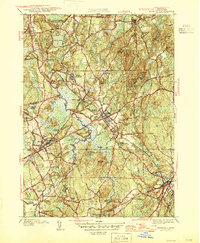
1946 Map of Medfield
USGS Topo · Published 1946About this map
Medfield serves as the central hub of this 1940s landscape, where the Charles River and its expansive Maple Swamp create a natural barrier between established settlements. The massive campus of the Medfield State Hospital dominates the area north of town, reflecting a mid-century era of large-scale institutional land use. Further west, the village of Millis sits along the rail line near Prospect Hill Cem, while Medfield Junction highlights the importance of railway connectivity in the region during the post-war period.
Find a feature on this map
73 named features on this map. Tap any name to fly to it.
Don’t see what you’re looking for? This feature index may not catch every label — zoom into the map to look around manually.
Map Details
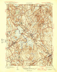
Editions of this 1946 Medfield Map
2 editions found
Other maps of this area

1886 · Dedham
USGS Topo · 1:62,500

1886 · Framingham
USGS Topo · 1:62,500

1887 · Franklin
USGS Topo · 1:62,500

1889 · Franklin
USGS Topo · 1:62,500

1889 · Framingham
USGS Topo · 1:62,500

1893 · Franklin
USGS Topo · 1:62,500

1893 · Boston
USGS Topo · 1:62,500

1894 · Dedham
USGS Topo · 1:62,500

1894 · Framingham
USGS Topo · 1:62,500

1903 · Boston
USGS Topo · 1:62,500