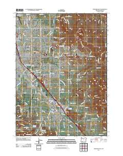
2011 Map of Medford East
USGS Topo · Published 2011About this map
The Rogue River Valley’s agricultural and residential development is clear in this study of Medford and the surrounding Jackson County landscape. Named orchards like Hillcrest Orchard, Bear Creek Orchards, and Earnest Orchards indicate the region's long-standing reliance on fruit production, supported by a complex network of irrigation including the Phoenix Canal, Medford Irrigation District Canal, and the Medford Aqueduct. The terrain is punctuated by prominent elevations such as Roxy Ann Peak and Buckshot Hill, which overlook the growing urban centers. This 2011 perspective shows the intersection of historical infrastructure and modern expansion, from the Medco Haul Rd to the transit hub of the Rogue Valley International-Medford Airport. Genealogists will find several significant burial grounds, including Siskiyou Memorial Park, Medford IOOF Cemetery, and the Dunkard Cemetery near the southern boundary.
Find a feature on this map
128 named features on this map. Tap any name to fly to it.
Don’t see what you’re looking for? This feature index may not catch every label — zoom into the map to look around manually.
Map Details
Editions of this 2011 Medford East Map
This is the sole edition of this map. No revisions or reprints were ever made.
Other maps of this area

1891 · Ashland
USGS Topo · 1:250,000

1893 · Ashland
USGS Topo · 1:250,000

1897 · Ashland
USGS Topo · 1:250,000

1938 · Medford
USGS Topo · 1:125,000

1954 · Medford
USGS Topo · 1:62,500

1954 · Lakecreek
USGS Topo · 1:62,500

1954 · Talent
USGS Topo · 1:62,500

1954 · Ashland
USGS Topo · 1:62,500

1955 · Medford
USGS Topo · 1:250,000

1957 · Medford
USGS Topo · 1:250,000