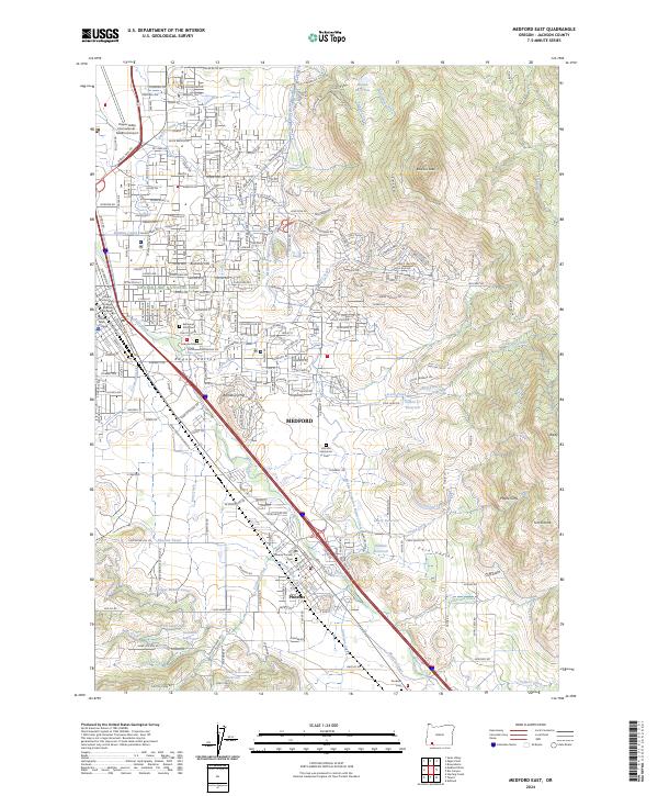
2024 Map of Medford East
USGS Topo · Published 2024About this map
Medford and Phoenix anchor this topographic study, revealing a landscape defined by an intricate network of irrigation and water management. The Medford Irrigation District Canal, Hopkins Canal, and Phoenix Canal weave through the valley, supported by numerous reservoirs such as Lowry Reservoir and Larson Cr Reservoir. This reliance on water infrastructure highlights the region's agricultural foundations even as suburban development presses against landmarks like Barneburg Hill and Buckshot Hill.
Find a feature on this map
49 named features on this map. Tap any name to fly to it.
Don’t see what you’re looking for? This feature index may not catch every label — zoom into the map to look around manually.
Map Details
Editions of this 2024 Medford East Map
This is the sole edition of this map. No revisions or reprints were ever made.
Other maps of this area

1891 · Ashland
USGS Topo · 1:250,000

1893 · Ashland
USGS Topo · 1:250,000

1897 · Ashland
USGS Topo · 1:250,000

1938 · Medford
USGS Topo · 1:125,000

1954 · Medford
USGS Topo · 1:62,500

1954 · Lakecreek
USGS Topo · 1:62,500

1954 · Talent
USGS Topo · 1:62,500

1954 · Ashland
USGS Topo · 1:62,500

1955 · Medford
USGS Topo · 1:250,000

1957 · Medford
USGS Topo · 1:250,000