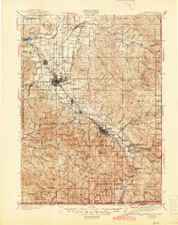
1955 Map of Medford
USGS Topo · Published 1964About this map
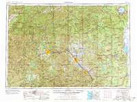
The Rogue River valley serves as the central artery for this mid-century survey, connecting the primary population centers of Grants Pass, Medford, and Ashland. This era reflects a landscape defined by the convergence of the Southern Pacific Railroad and major timber and agricultural corridors. The map records the intricate network of the Siskiyou Mountains and Cascade Range, featuring landmarks like the towering Mount McLoughlin and the volcanic caldera of Crater Lake. Local history is preserved in the location of smaller settlements such as Jacksonville, Gold Hill, and Cave Junction near the Oregon Caves National Monument. The transition from the high mountain wilderness of the Sky Lakes Wilderness Area to the settled agricultural basins of Bear Creek and Little Butte Creek illustrates the complex topography that shaped Southern Oregon's development before the full expansion of the modern interstate system.
Find a feature on this map
314 named features on this map. Tap any name to fly to it.
Don’t see what you’re looking for? This feature index may not catch every label — zoom into the map to look around manually.
Map Details
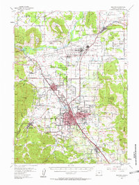
Editions of this 1955 Medford Map
3 editions found

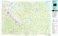
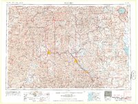
Historical Maps of Medford Through Time
6 maps found