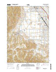
2014 Map of Medford West
USGS Topo · Published 2014About this map
Jacksonville and its historic core stand at the western edge of this valley landscape, where the foothills of Johns Peak meet the developed plains. The settlement pattern here reflects a deep connection to the land's hydrology, with the Phoenix Canal, Hopkins Canal, and Talent Middle Canal weaving through the orchards and residential blocks of Rogue Valley. These waterways illustrate the complex irrigation infrastructure essential to the region's agricultural heritage, even as urban expansion from Medford and Central Point pushes westward.
Find a feature on this map
106 named features on this map. Tap any name to fly to it.
Don’t see what you’re looking for? This feature index may not catch every label — zoom into the map to look around manually.
Map Details
Editions of this 2014 Medford West Map
This is the sole edition of this map. No revisions or reprints were ever made.
Other maps of this area

1891 · Ashland
USGS Topo · 1:250,000

1893 · Ashland
USGS Topo · 1:250,000

1897 · Ashland
USGS Topo · 1:250,000

1908 · Grants Pass
USGS Topo · 1:125,000

1938 · Medford
USGS Topo · 1:125,000

1954 · Medford
USGS Topo · 1:62,500

1954 · Gold Hill
USGS Topo · 1:62,500

1954 · Talent
USGS Topo · 1:62,500

1954 · Ruch
USGS Topo · 1:62,500

1955 · Medford
USGS Topo · 1:250,000