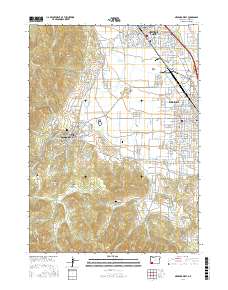
2017 Map of Medford West
USGS Topo · Published 2017About this map
Jacksonville sits at the base of Britt Ridge and Jacksonville Hill, serving as a focal point for the historic mining and agricultural roots of the Rogue Valley. The landscape transitions from the urbanized western edge of Medford and the organized street grids of Central Point into a complex network of canyons and gulches to the west, including Rich Gulch and Miller Gulch. The valley floor is defined by its water management systems, notably the Hopkins Canal and Talent Middle Canal, which support the region's long-standing orcharding and farming traditions. The Central Oregon and Pacific railroad line cuts through the northern portion of the map, underscoring the vital transport links between these settlements. To the south and west, the terrain rises toward Johns Peak, where the geography becomes dominated by steep drainage features like Holman Gulch and Dark Hollow.
Find a feature on this map
100 named features on this map. Tap any name to fly to it.
Don’t see what you’re looking for? This feature index may not catch every label — zoom into the map to look around manually.
Map Details
Editions of this 2017 Medford West Map
This is the sole edition of this map. No revisions or reprints were ever made.
Other maps of this area

1891 · Ashland
USGS Topo · 1:250,000

1893 · Ashland
USGS Topo · 1:250,000

1897 · Ashland
USGS Topo · 1:250,000

1908 · Grants Pass
USGS Topo · 1:125,000

1938 · Medford
USGS Topo · 1:125,000

1954 · Medford
USGS Topo · 1:62,500

1954 · Gold Hill
USGS Topo · 1:62,500

1954 · Talent
USGS Topo · 1:62,500

1954 · Ruch
USGS Topo · 1:62,500

1955 · Medford
USGS Topo · 1:250,000