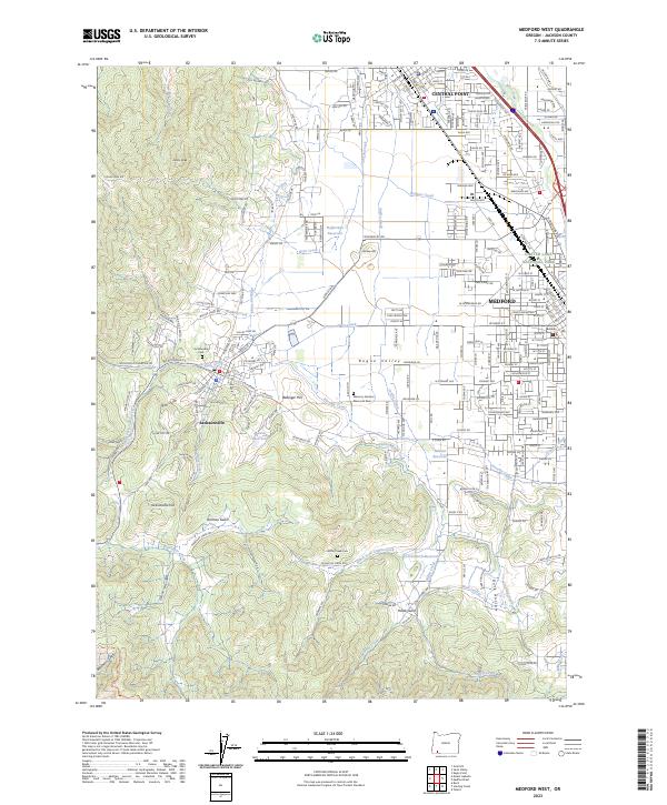
2023 Map of Medford West
USGS Topo · Published 2023About this map
Jacksonville sits at the foot of the hills where Jackson Creek flows into the Rogue Valley, preserving a settlement pattern that balances historic town centers with modern industrial growth. The western portion of the map is dominated by the steep terrain of Johns Peak and Jacksonville Hill, where a network of gulches like Rich Gulch and Holman Gulch transition into the irrigated agricultural lands of the valley floor. Water management is a primary feature of this landscape, evidenced by the intricate system of the Talent Middle Canal, Phoenix Canal, and Hopkins Canal that distribute water from reservoirs like Martin Reservoir and Minear Reservoir.
Find a feature on this map
130 named features on this map. Tap any name to fly to it.
Don’t see what you’re looking for? This feature index may not catch every label — zoom into the map to look around manually.
Map Details
Editions of this 2023 Medford West Map
This is the sole edition of this map. No revisions or reprints were ever made.
Other maps of this area

1891 · Ashland
USGS Topo · 1:250,000

1893 · Ashland
USGS Topo · 1:250,000

1897 · Ashland
USGS Topo · 1:250,000

1908 · Grants Pass
USGS Topo · 1:125,000

1938 · Medford
USGS Topo · 1:125,000

1954 · Medford
USGS Topo · 1:62,500

1954 · Gold Hill
USGS Topo · 1:62,500

1954 · Talent
USGS Topo · 1:62,500

1954 · Ruch
USGS Topo · 1:62,500

1955 · Medford
USGS Topo · 1:250,000