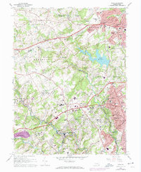
1966 Map of Media
USGS Topo · Published 1974About this map
Ridley Creek State Park and the expansive Tyler Arboretum dominate the central landscape of this Delaware County survey, illustrating a region defined by protected green spaces and institutional land use. The suburban expansion of the mid-1960s is evident in the dense residential clusters of Newtown Square, Larchmont, and Media, while older crossroads such as Gradyville and Plumsock maintain a more dispersed character.
Find a feature on this map
105 named features on this map. Tap any name to fly to it.
Don’t see what you’re looking for? This feature index may not catch every label — zoom into the map to look around manually.
Map Details
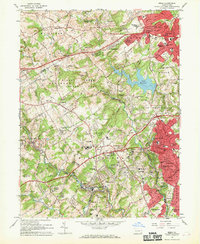
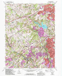
Editions of this 1966 Media Map
3 editions found
Other maps of this area

1894 · Chester
USGS Topo · 1:62,500

1894 · Norristown
USGS Topo · 1:62,500

1895 · Norristown
USGS Topo · 1:62,500

1896 · Norristown
USGS Topo · 1:62,500

1896 · Chester
USGS Topo · 1:62,500

1898 · Chester
USGS Topo · 1:62,500

1901 · Camden
USGS Topo · 1:125,000

1901 · West Chester
USGS Topo · 1:62,500

1904 · West Chester
USGS Topo · 1:62,500

1906 · Phoenixville
USGS Topo · 1:62,500
Featured Places
- Chester, PA
- Radnor Township, PA
- Marple Township, PA
- Upper Providence Township, PA
- Willistown Township, PA