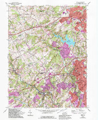
1966 Map of Media
USGS Topo · Published 1994About this map
Ridley Creek State Park and the Tyler Arboretum form a significant green belt through the center of this map, preserving the character of the Pennsylvania countryside even as suburban growth pushed westward. The landscape is defined by the winding paths of Ridley Creek, Chester Creek, and Crum Creek, which supported early industrial hamlets like Sycamore Mills and Rockdale. Local institutional history is well-represented, including the Ellis School for Girls, Sleighton Farm School, and the Fair Acres County Home. To the east, the seat of Delaware County is visible at Media, featuring the Courthouse and Armory. The map illustrates the transition from rural estates to mid-century residential developments like Larchmont Square and Crum Creek Manor, all connected by the historic Baltimore Pike and the Penn Central rail line.
Find a feature on this map
115 named features on this map. Tap any name to fly to it.
Don’t see what you’re looking for? This feature index may not catch every label — zoom into the map to look around manually.
Map Details
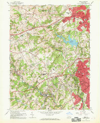
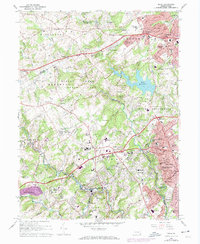
Editions of this 1966 Media Map
3 editions found
Other maps of this area

1894 · Chester
USGS Topo · 1:62,500

1894 · Norristown
USGS Topo · 1:62,500

1895 · Norristown
USGS Topo · 1:62,500

1896 · Norristown
USGS Topo · 1:62,500

1896 · Chester
USGS Topo · 1:62,500

1898 · Chester
USGS Topo · 1:62,500

1901 · Camden
USGS Topo · 1:125,000

1901 · West Chester
USGS Topo · 1:62,500

1904 · West Chester
USGS Topo · 1:62,500

1906 · Phoenixville
USGS Topo · 1:62,500
Featured Places
- Chester, PA
- Radnor Township, PA
- Marple Township, PA
- Upper Providence Township, PA
- Willistown Township, PA