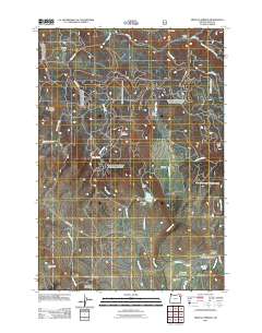
2011 Map of Medical Springs
USGS Topo · Published 2011About this map
Medical Springs and the nearby community of Pondosa anchor the southeast corner of this mountainous landscape in Union County. The settlement pattern reflects a reliance on water management for agriculture and industry, with engineered features such as Little Park Dam, Wright Ditch, and Robertson Ditch crisscrossing the lower elevations near Sagebrush Flat. Historically significant for its post office and geothermal activity, Medical Springs serves as a hub for routes like Big Creek Rd and Telocaset Rd.
Find a feature on this map
36 named features on this map. Tap any name to fly to it.
Don’t see what you’re looking for? This feature index may not catch every label — zoom into the map to look around manually.
Map Details
Editions of this 2011 Medical Springs Map
This is the sole edition of this map. No revisions or reprints were ever made.
Other maps of this area

1901 · Baker City
USGS Topo · 1:125,000

1906 · Telocaset
USGS Topo · 1:125,000

1955 · Baker
USGS Topo · 1:250,000

1955 · Grangeville
USGS Topo · 1:250,000

1959 · Baker
USGS Topo · 1:250,000

1959 · Grangeville
USGS Topo · 1:250,000

1965 · China Cap
USGS Topo · 1:24,000

1965 · Flagstaff Butte
USGS Topo · 1:24,000

1965 · Union
USGS Topo · 1:24,000

1965 · Medical Springs
USGS Topo · 1:24,000