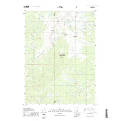
2017 Map of Medicine Bow Peak
USGS Topo · Published 2017About this map
Medicine Bow Peak and the high alpine terrain of the Snowy Range dominate this portion of the Medicine Bow National Forest. Crossing the Carbon and Albany County line, the landscape is defined by a dense concentration of glacial lakes and reservoirs, including Silverman Lake, South Twin Lake, and Lewis Lake. This area serves as a critical headwaters region, where drainage from the Medicine Bow Mountains feeds the Middle Fork Little Laramie River, Douglas Creek, and South French Creek.
Find a feature on this map
60 named features on this map. Tap any name to fly to it.
Don’t see what you’re looking for? This feature index may not catch every label — zoom into the map to look around manually.
Map Details
Editions of this 2017 Medicine Bow Peak Map
This is the sole edition of this map. No revisions or reprints were ever made.
Other maps of this area

1906 · Medicine Bow
USGS Topo · 1:125,000

1908 · Medicine Bow
USGS Topo · 1:125,000

1954 · Rawlins
USGS Topo · 1:250,000

1958 · Rawlins
USGS Topo · 1:250,000

1961 · Overlook Hill
USGS Topo · 1:24,000

1961 · Sand Lake
USGS Topo · 1:24,000

1961 · Medicine Bow Peak
USGS Topo · 1:24,000
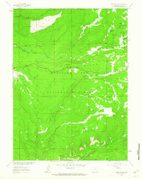
1961 · Phantom Lake
USGS Topo · 1:24,000
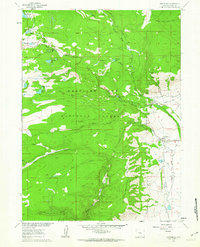
1961 · Centennial
USGS Topo · 1:24,000
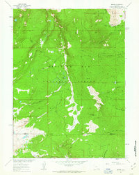
1961 · Morgan
USGS Topo · 1:24,000