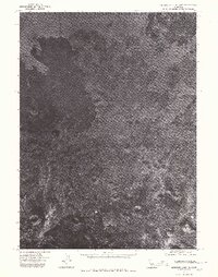
1975 Map of Medicine Lake NE
USGS Topo · Published 1980About this map
Whitney Butte and Schonchin Butte anchor the northern reaches of this volcanic landscape in Siskiyou County, captured via aerial photography in the mid-1970s. This orthophotoquad provides a stark visual record of the high desert and basaltic terrain before modern environmental changes, emphasizing the complex surface textures of the Modoc Plateau. Geologic formations like Eagle Nest Butte and Indian Butte stand out against the sparse vegetation and ancient lava flows. Unlike standard topographic maps, this photographic survey allows researchers to see the precise density of scrubland and the exact paths of unimproved tracks winding through the volcanic fields.
Find a feature on this map
4 named features on this map. Tap any name to fly to it.
Don’t see what you’re looking for? This feature index may not catch every label — zoom into the map to look around manually.
Map Details
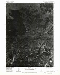
Editions of this 1975 Medicine Lake NE Map
2 editions found
Other maps of this area

1886 · Modoc Lava Bed
USGS Topo · 1:250,000

1892 · Modoc Lava-Bed
USGS Topo · 1:250,000

1950 · Mt. Dome
USGS Topo · 1:62,500

1951 · Tulelake
USGS Topo · 1:62,500

1952 · Timber Mountain
USGS Topo · 1:62,500

1952 · Medicine Lake
USGS Topo · 1:62,500

1954 · Alturas
USGS Topo · 1:250,000

1958 · Alturas
USGS Topo · 1:250,000

1962 · Alturas
USGS Topo · 1:250,000

1965 · Alturas
USGS Topo · 1:250,000