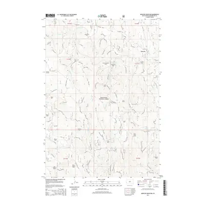
2015 Map of Medicine Mountain
USGS Topo · Published 2015About this map
Black Hills National Forest land defines this portion of Pennington County, where high peaks and deep draws reveal a landscape shaped by natural drainage and mineral interest. Significant summits including Medicine Mtn, Odakota Mtn, and Copper Mtn dominate the topography, interspersed with broad clearings like Gillette Prairie. The small settlement of Tigerville sits in the northeast, connected to the wider region by the historic path of Rochford Road.
Find a feature on this map
97 named features on this map. Tap any name to fly to it.
Don’t see what you’re looking for? This feature index may not catch every label — zoom into the map to look around manually.
Map Details
Editions of this 2015 Medicine Mountain Map
This is the sole edition of this map. No revisions or reprints were ever made.
Other maps of this area

1894 · Deadwood
USGS Topo · 1:125,000

1896 · Harney Peak
USGS Topo · 1:125,000

1901 · Harney Peak
USGS Topo · 1:125,000

1901 · Deadwood
USGS Topo · 1:125,000

1916 · Deadwood
USGS Topo · 1:125,000

1953 · Rapid City
USGS Topo · 1:250,000

1954 · Silver City
USGS Topo · 1:24,000

1954 · Custer
USGS Topo · 1:24,000

1954 · Hill City
USGS Topo · 1:24,000

1954 · Berne
USGS Topo · 1:24,000