
1954 Map of Silver City
USGS Topo · Published 1955About this map
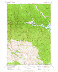
Silver City and Canyon City anchor this mid-century look at the eastern Black Hills National Forest, where the landscape is defined by a dense network of mining claims and rugged gulches. The map captures a significant moment for the local hydrology as the newly formed Pactola Reservoir begins to fill, its irregular shoreline reaching into Smoker Gulch and Magpie Gulch. This period reflects the transition from small-scale historic gold prospecting to larger water management projects.
Find a feature on this map
49 named features on this map. Tap any name to fly to it.
Don’t see what you’re looking for? This feature index may not catch every label — zoom into the map to look around manually.
Map Details
Editions of this 1954 Silver City Map
4 editions found
Other maps of this area

1893 · Rapid
USGS Topo · 1:125,000

1894 · Deadwood
USGS Topo · 1:125,000

1894 · Hermosa
USGS Topo · 1:125,000

1896 · Harney Peak
USGS Topo · 1:125,000

1898 · Rapid
USGS Topo · 1:125,000

1901 · Hermosa
USGS Topo · 1:125,000

1901 · Harney Peak
USGS Topo · 1:125,000

1901 · Deadwood
USGS Topo · 1:125,000

1903 · Rapid
USGS Topo · 1:125,000

1916 · Deadwood
USGS Topo · 1:125,000