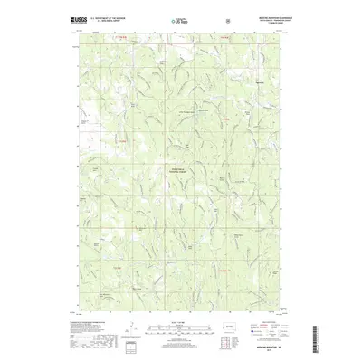
2017 Map of Medicine Mountain
USGS Topo · Published 2017About this map
Tigerville stands as a focal point in this high-elevation portion of the Black Hills National Forest, where the landscape is defined by a dense network of timber roads and drainage systems. The terrain is marked by numerous significant peaks, including Medicine Mountain, Odakota Mountain, and Copper Mountain. This 2017 survey details the complex system of forest routes like Newton 06 and Newton 42 that thread through the gulches and draws. Water sources are critical in this environment, represented by the Little Thompson Draw Reservoir and the perennial flow of Newton Fork. From the high grazing land of Gillette Prairie to the recesses of Reno Gulch, the map provides a look at modern forest management and topography in Pennington County. Researchers can trace the varied drainage basins, from White House Gulch to Bear Mountain Basin, which characterize this rugged segment of the Black Hills.
Find a feature on this map
78 named features on this map. Tap any name to fly to it.
Don’t see what you’re looking for? This feature index may not catch every label — zoom into the map to look around manually.
Map Details
Editions of this 2017 Medicine Mountain Map
This is the sole edition of this map. No revisions or reprints were ever made.
Other maps of this area

1894 · Deadwood
USGS Topo · 1:125,000

1896 · Harney Peak
USGS Topo · 1:125,000

1901 · Harney Peak
USGS Topo · 1:125,000

1901 · Deadwood
USGS Topo · 1:125,000

1916 · Deadwood
USGS Topo · 1:125,000

1953 · Rapid City
USGS Topo · 1:250,000

1954 · Silver City
USGS Topo · 1:24,000

1954 · Custer
USGS Topo · 1:24,000

1954 · Hill City
USGS Topo · 1:24,000

1954 · Berne
USGS Topo · 1:24,000