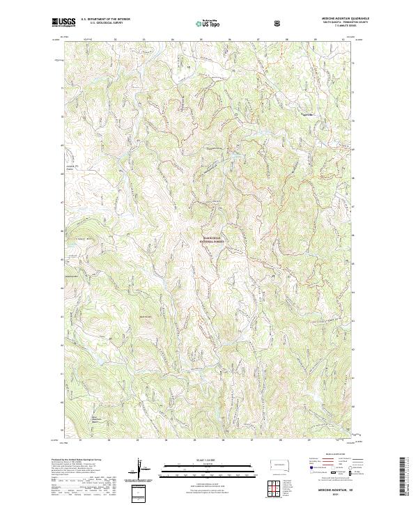
2021 Map of Medicine Mountain
USGS Topo · Published 2021About this map
Tigerville and the high elevations of the Black Hills National Forest define this terrain in Pennington County. The landscape is a network of ridges and draws, with Medicine Mountain and Odakota Mtn rising above the surrounding drainages of Newton Fork and Slate Cr. A legacy of forest management and access is evident in the dense system of numbered trails, such as Newton 01 Trl and Newton 23 Trl, which navigate the complex topography around Coad Hill and Gillette Prairie. Water resources, though sparse at these heights, include Strickland Spring and Thompson Reservoir, supporting the local ecology of the Bear Mountain Basin. The map captures the quiet character of the South Dakota backcountry, where the primary human footprint is found in the scattered mountain settlements and the rugged Rochford Road corridor.
Find a feature on this map
83 named features on this map. Tap any name to fly to it.
Don’t see what you’re looking for? This feature index may not catch every label — zoom into the map to look around manually.
Map Details
Editions of this 2021 Medicine Mountain Map
This is the sole edition of this map. No revisions or reprints were ever made.
Other maps of this area

1894 · Deadwood
USGS Topo · 1:125,000

1896 · Harney Peak
USGS Topo · 1:125,000

1901 · Harney Peak
USGS Topo · 1:125,000

1901 · Deadwood
USGS Topo · 1:125,000

1916 · Deadwood
USGS Topo · 1:125,000

1953 · Rapid City
USGS Topo · 1:250,000

1954 · Silver City
USGS Topo · 1:24,000

1954 · Custer
USGS Topo · 1:24,000

1954 · Hill City
USGS Topo · 1:24,000

1954 · Berne
USGS Topo · 1:24,000