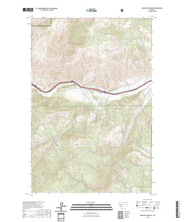
2024 Map of Medicine Tree Hill
USGS Topo · Published 2024About this map
The Clark Fork river serves as the central artery of this mountain landscape, carving a valley between the Sapphire Mountains to the south and Mt Baldy to the north. In the heart of this corridor sits Byrne, a point of settlement where several significant routes converge, including the historic Mullan Rd and Weston Trail Rd. The map illustrates the transition from the river valley into the high timberlands of the Lolo National Forest, where steep drainages like Genoa Gulch and Van Curan Gulch lead toward more remote peaks.
Find a feature on this map
38 named features on this map. Tap any name to fly to it.
Don’t see what you’re looking for? This feature index may not catch every label — zoom into the map to look around manually.
Map Details
Editions of this 2024 Medicine Tree Hill Map
This is the sole edition of this map. No revisions or reprints were ever made.
Other maps of this area

1903 · Bonner
USGS Topo · 1:125,000

1919 · Drummond
USGS Topo · 1:125,000

1921 · Drummond
USGS Topo · 1:125,000

1947 · Butte
USGS Topo · 1:250,000

1958 · Butte
USGS Topo · 1:250,000

1959 · Bearmouth
USGS Topo · 1:62,500

1959 · Ravenna
USGS Topo · 1:62,500

1960 · Butte
USGS Topo · 1:250,000

1962 · Butte
USGS Topo · 1:250,000

1965 · Union Peak
USGS Topo · 1:24,000